Vector Data
Vector data in GIS represents geographic features using points, lines, and polygons. This data type is thus suitable for mapping discrete objects like cities, roads, and areas of land.
In this map vector data from the Gemeente Utrecht data base on the trees in Utrecht has been used to highlight the distribution of a specific tree species (in this case Quercus trees) in the Utrecht region.
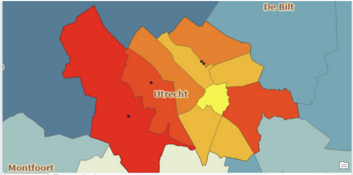
Figure 1. Distribution of Quercus trees in the Utrecht region