Land Cover Classification
Land cover refers to the physical material covering the Earth's surface, significantly impacting sustainable development, climate change, biodiversity conservation, food security, and disaster risk. Various methods exist for classifying land cover, making it a crucial aspect of environmental monitoring.
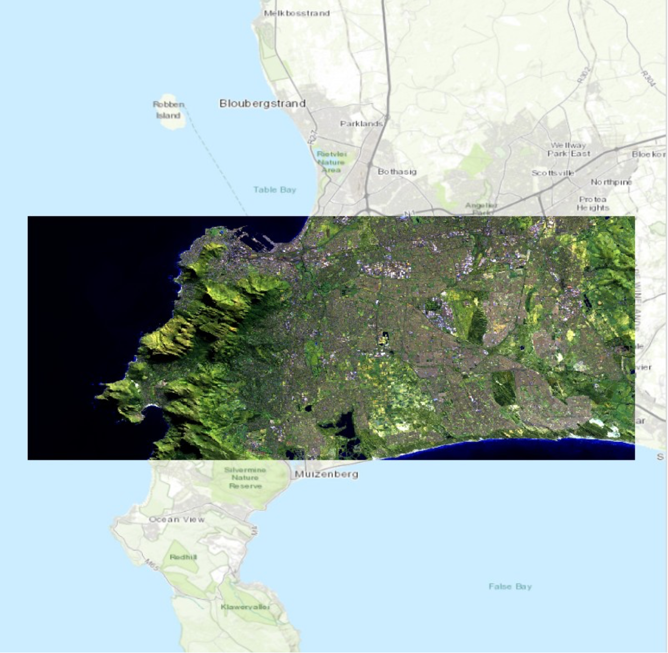
Figure 1. False colour composite map of Cape Town highlighting it's geology.
This specific colour combination (red: band 12, green: band 11 and blue: band 2) should emphasise the lithology, faults and geological formations of the area. With Cape Town being situated on Table Mountain, the relief and geology of this area is an important feature to represent.
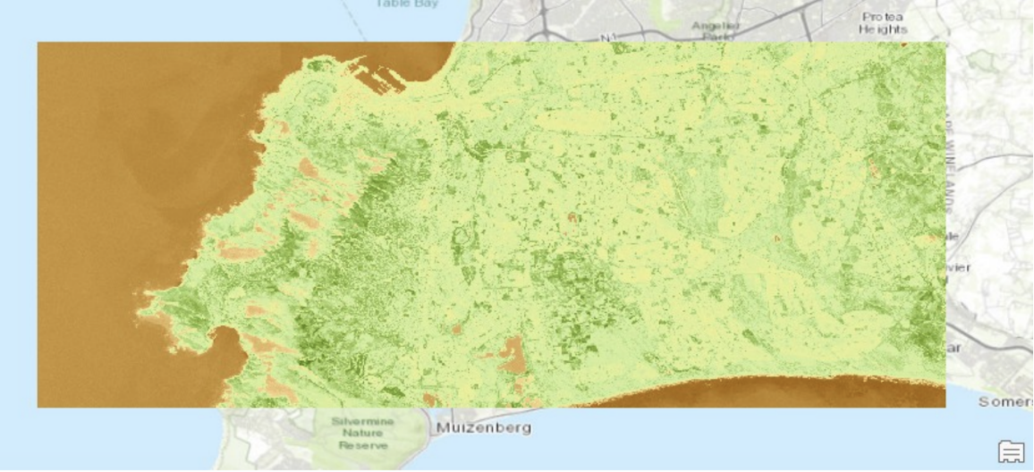
Figure 5. NDVI classification Normalised Difference Vegetation Index (NDVI) classification in GIS is a technique used to assess and monitor vegetation health. NDVI is calculated using the difference between near-infrared (which vegetation strongly reflects) and red light (which vegetation absorbs) from satellites![]() Figure 2. Unsupervised pixel based classification
Figure 2. Unsupervised pixel based classification
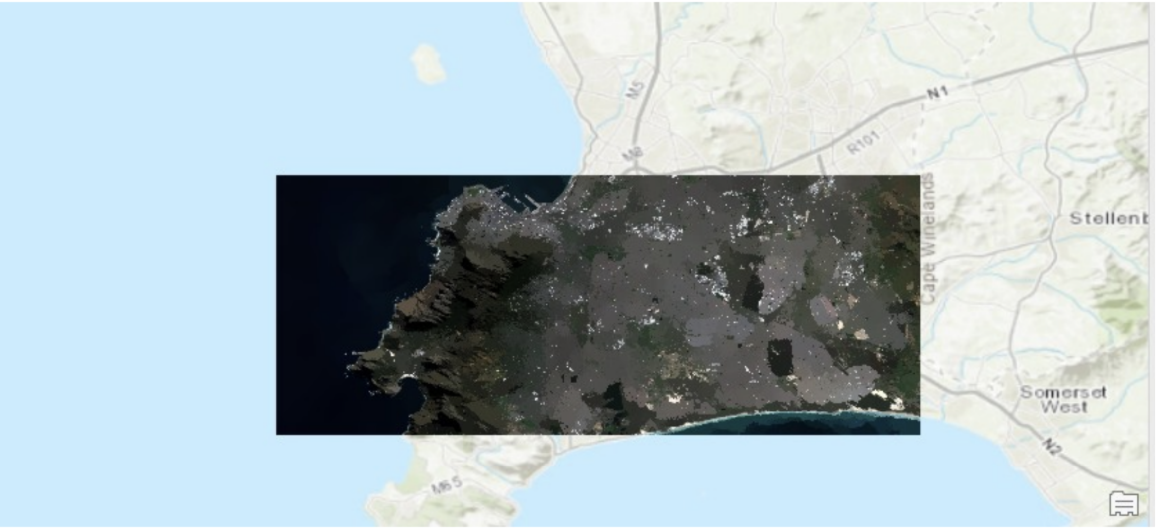 Figure 3. Unsupervised object based classification
![]()